 Change Location
Travel Logistics
Local Amenities
Coming Soon.
Coming Soon.
Coming Soon.
Coming Soon.
Coming Soon.
Coming Soon.
Coming Soon.
Coming Soon.
Coming Soon.
Coming Soon.
Coming Soon.
Useful Links
Coming Soon.
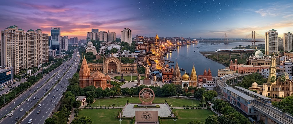
Sandila (NPP) is the 104th ranked town out of the total 802 towns of Uttar Pradesh State, in Population (Census 2011). Sandila (NPP) is a town in the Hardoi District , which is one of the 75 districts in Uttar Pradesh State. Hardoi district is ranked 572nd in population and 270th in area across 766 districts of India. Sandila (NPP) town had a 14.01% working population in the last census. Of this working population, 52.35% were land-owning Cultivators & 30.53% were Agriculture-Workers, who did not own farming land.
Hindi is the primary language of 85.6% of the urban population of Uttar Pradesh State/UT. Urdu language is the Mother Tongue of 13.3% and Punjabi language of 0.4% of the Uttar Pradesh population, in census 2011. Hardoi District has 69.57% literacy rate & the district has 86% Hindi, 13.5% Urdu, 0% Punjabi & 0% Bengali speakers. For detailed language breakup of - please see language box.
Hardoi district has 0.7% of the State's population. The nearest airport is Chaudhary Charan Singh International Airport in Lucknow, located 64 Km away.
Internet Trends
Languages
Literacy (2011)
Employment Trends (2011)
Hardoi Analytics
Total Count:
Compare India District